 Technological advancements are driving industries to upgrade their operations and servicing or production methods. The agriculture sector is not exempt from this. Farmers Weekly magazine states that 60% of farms in the UK can be controlled via technology. Sensor systems, data analytics, and camera-mounted drone monitoring are allowing farmers to produce crops with machine-like accuracy. This explains ‘agri-science’ and the ‘rise of the smart farm’.
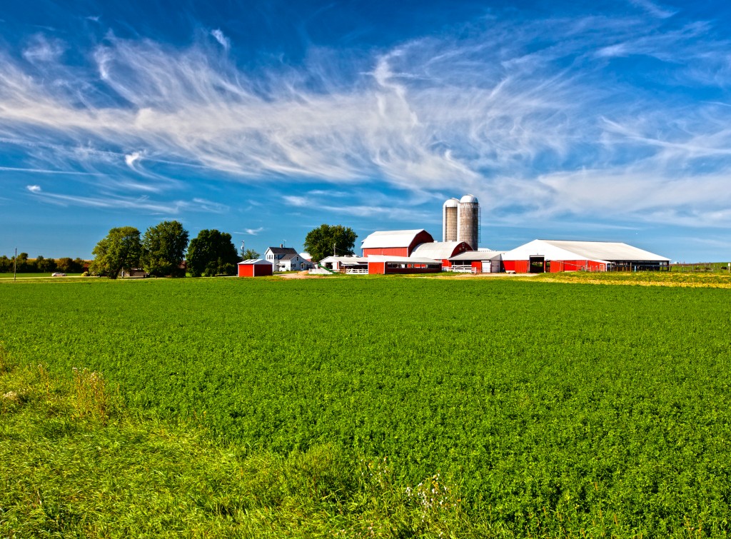
Satellite Technology
The United Nations predicts a 70% demand for food come 2020. This affects a number of things ranging from urbanisation to climate change and rising energy costs. Technology is available to address these needs, leading to the agri-tech revolution.
Satellites play a significant role in enabling farmers to better monitor and maintain their lands and produce. A satellite phone, for example, can configure auto-steer technology. Tractors and other farm vehicles can be set to tread and plough through paths without a driver. Automated driving allows farmers to tend more crops and save time.
Weather forecasting is another advancement that aims to help farmers maximise production. Satellite imagery provides a farmer with live data and analysis on climate, weather and field information. Computer models show predictive weather conditions and long-term climate situations in various settings, from global to regional scales.
These innovations, referred to as ‘precision agriculture’, utilise technology to accurately measure and provide appropriate farming decisions.
Improving Communications
The transfer of information improves logistics and transport operations. During the wet season, farmers will have to track heavy rainfall and ensure the storage of water. The health of their crops relies on planned irrigation methods.
Satellite imaging captures geographical data and gives farmers information on drought prediction, managing water storage, pest and crop disease control and farm mapping plans. These data proves invaluable in projecting farm processes like seeding, growing and harvesting.
Currently, researchers are looking at ‘virtual fencing’. This feature allows farmers to keep track of their cattle through programmed collars indicating out-zones. Using satellite signals, researchers can rely on cost-effective data transmission.
Aquaculture
Marine life is also a key part of sustaining the world’s food supply. Satellite observation tools also enable finfish and shellfish farmers to monitor their waters. Pollution and algae growth are harmful to aquaculture sites. But with the use of satellite colour classification, farmers receive warnings of disruptive algae activity in their fish farms.
These technological advancements serve to empower farmers and this is only the beginning of the smart farm.