 The rising popularity of Uber around the world is one example of people’s increasing dependence on the use of Global Positioning System or GPS. Just with a few clicks on your smartphone and a reliable Internet connection, you would be able to navigate your way to almost any place in the world. But, GPS has been utilized fully almost only a decade ago.
So How Did People Find Their Way Before That?
Traditional methods, some of which are used until now, allowed people to travel. Although it is not as efficient as having an embedded GPS and Inertial Navigation System (INS) in your car, aircraft, or boat, such methods were still able to let people find their way. Below are four of the navigation methods earlier civilizations used.
1. Sun, Moon, and Stars
Time and direction come hand in hand. Therefore, just by looking at the rising and setting of the sun, as well as the location of the moon and stars, people are able to find their way around.
2. Celestial Computation
Aircraft navigation was made possible through celestial computation. The invention of Bygrave Position Line Slide Rule after World War I became really useful in helping pilots calculate and navigate through cramped cockpits, which is a challenging environment.
3. Sextant
Mainly used in sea navigation, a sextant is an instrument used to measure angles. It got its name because of its arc, which is one sixth of a circle or 60 degrees. Measurements are done through the reflection of light rays on the device.
4. Maps and Rulers
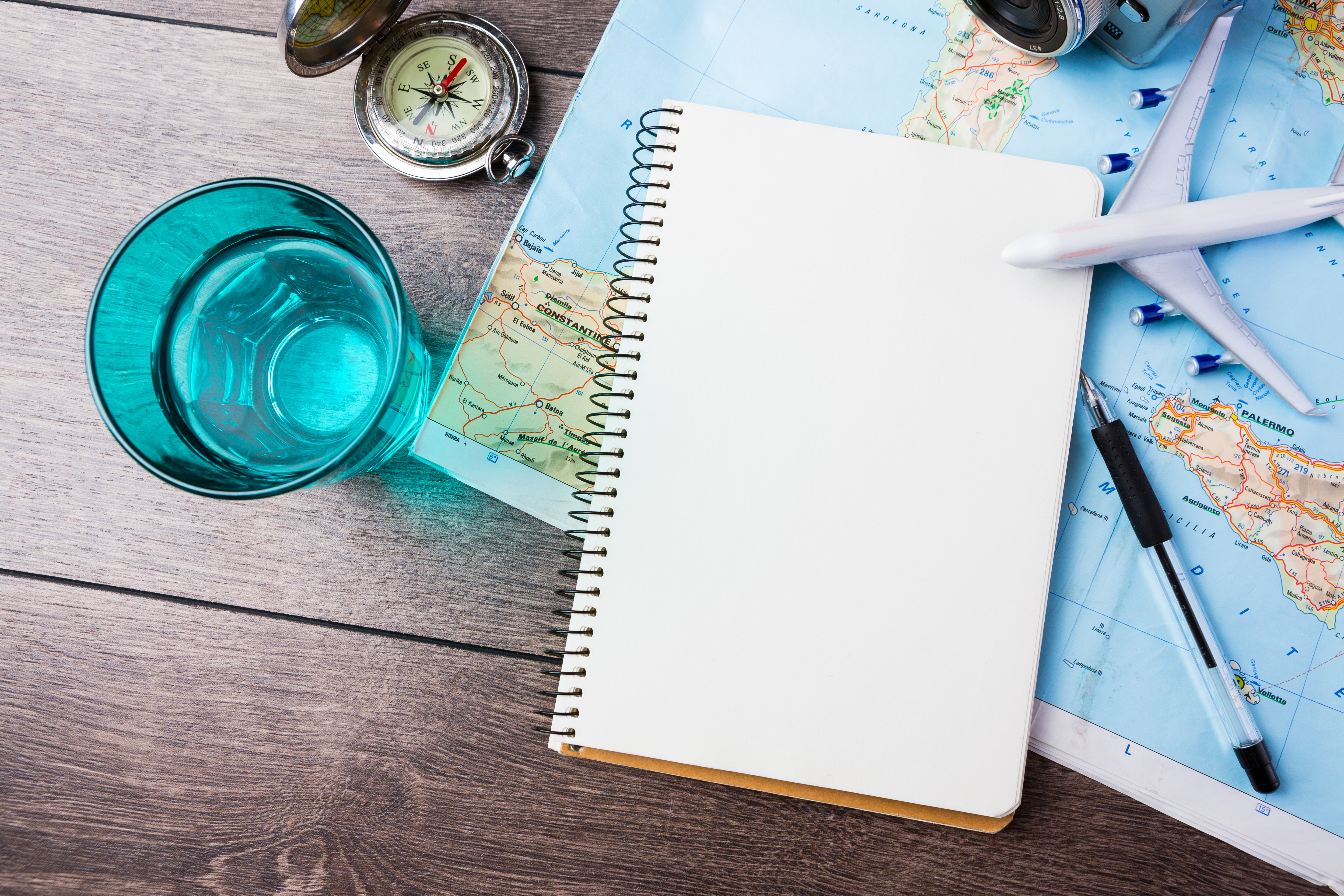
Although maps have also become modern (hello, Google maps), some people still use traditional maps to help them find their way around, plus, a ruler to help them with their measurements.
These instruments allowed mankind to get from one point to another, but today’s technology allowed us to go even further.


